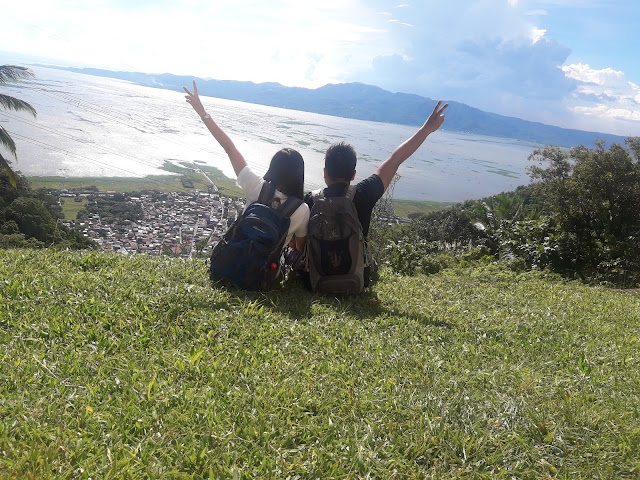
| Mt. Gulugod Baboy |
Let me introduce you to Mt. Gulugod Baboy.
Quickfacts
Height? 525 MASL according to Pinoymountaineer.com
Trail Difficulty? 2/9
Jump-off? Philpan Resort, Anilao, Mabini, Batangas
Roped Segment? None
Guide? Not required but available at the JOP
Beginner friendly? 100% YES!
How to get to Mt. Manabu
1. Ride a bus going to Batangas City. Alight at Batangas Grand Terminal.
2. From the grand terminal, ride a jeepney going to Mabini
3. Alight at the Mabini Junction. There, you will see a tricycle going to PhilPan Resort. Ride the trike and tell them you plan on hiking Mt. Gulugod Baboy.
3. Alight at the Mabini Junction. There, you will see a tricycle going to PhilPan Resort. Ride the trike and tell them you plan on hiking Mt. Gulugod Baboy.
Tale of the Trail
After a 30 minute tricycle ride, we were dropped off at the JOP. It is just a waiting shed with tables on it. It was already lunch time so the place was empty aside from the people manning the registration.
Everyone who's planning to climb the mountain is required to register at the JOP. You can go up without a guide since the trail is well-established and straight forward. But for us, we chose to get a guide since we were not very comfortable with our orienteering skills. (HAHAHAHAHA!)
We were assigned a seven-year old girl as our guide! I was starting to feel regret for getting a guide when Pearl struck a conversation with Sarah (our little guide) so I realized that our guide fee will go a long way.
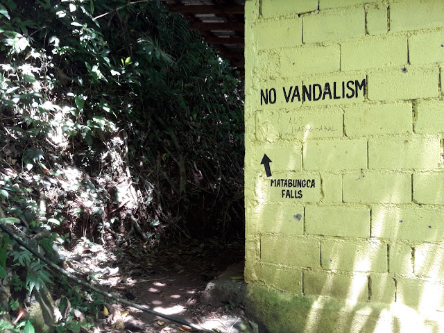
The initial part of the trek starts at the earthen stairs at the left side of the registration area. You'll climb it for about 5 - 10 minutes until you reach a concrete road. Turn right and walk straight ahead until you see an ascending trail at your left.
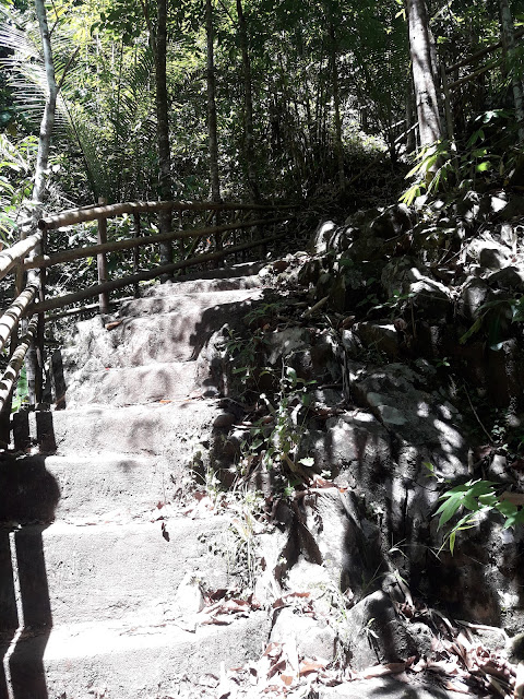
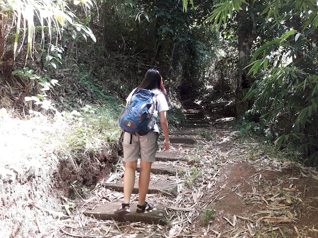
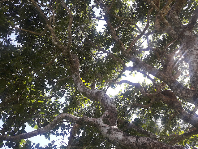
The ascending trail is the formal start of your climb to Mt. Gulugod Baboy. Going up is through a mini-forest so you'll be protected from the sun all through out. Take note that the trail of Gulugod Baboy is quite short, but a continuous ascent with very minimal flat area.
It was surprisingly tiring, given that many of the online sources explicitly says that this mountain is easy. (Thanks ha!! JK) However, the wit and the childish stories of Sarah kept us entertained the entire time.
After an hour of walking through the forest, we finally reached an open area that will take us to the summit of Mt. Gulugod Baboy.
At this point, Sarah told us that she can no longer accompany us since she had to go home and their house is still a long way. In other circumstances, I may have argued that our fee is supposed to take us to the summit but since Sarah is just seven years old, we gave her the money and some of our snacks and bid her goodbye.
When you reach the grassland, it means that the summit is just less than 30 minutes away. We were quick in finding a suitable campsite when we reached this spot. Be wary of cow dung! It would really be a hassle if you mistakenly pitch your camp atop of this organic bomb.
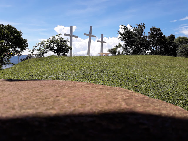
| The summit! Yey! |
Since there are only two of us, we pitched our tent first before we assaulted the summit. We were a bit nervous that our things might get stolen so every minute we were throwing glances on our camp.
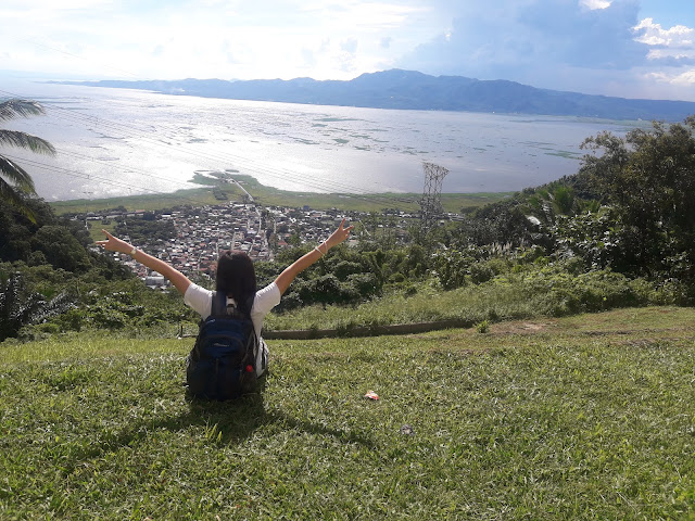
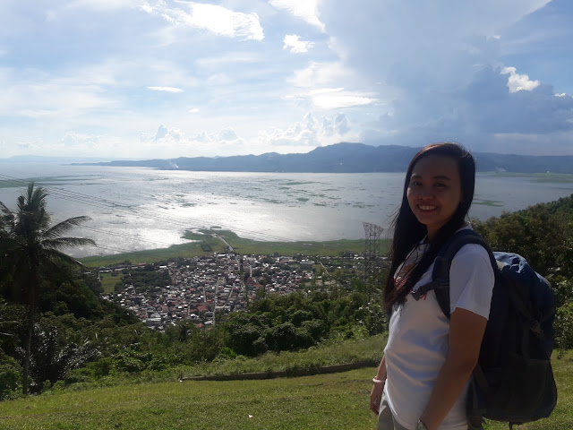
The trek up the summit was a breeze. We were both excited to see what was in store for us. At the summit, you'll have one of the best views of sunset ever. Feast your eyes on the beaches of Anilao, the Maricaban Strait and the distant Mindoro Island. Try to find the famous Sombrero Island if you're at the summit.
The sun quickly set but fortunately we already pitched our tent earlier. Some of the other trekkers found it hard to pitch tent since the evening wind came with punishing strength that blew away anything not weighted down or pegged. We took our dinner and prepared to go to sleep.
It was a good hike in Mt. Gulugod Baboy. However, when the night came, so are the other "elementals". These people were (for lack of other term) a nuisance to all climbers that night. I am betting my money that these bunch are not mountaineers since they don't have any idea of proper mountain etiquette.
They were pointing there strong flashlights on tents, talking, ehrrmm, shouting without any care to others, minding other people's business, and just being invasive.
I was tempted many times to tell-off these people but Pearliloo kept on reminding me that they are probably drunk and I may end up beaten up by this people. It was a sleepless night, trying to shut-off the shoutings and other noises emanating from their camp.
It was a bit disappointing that such behaviour is being brought to the mountains.
After a quick breakfast, we broke camp and proceeded on our descent. One thing we noticed was a tricycle driver offering a ride down of the mountain.
In order to go down the mountain, you'll have to backtrack to the same trail you used going up. It took us maybe an hour or so to reach the registration area. Remember to log-out at the registration area before anything else.
There are lots of private houses near PhilPan resort where you can use comfort rooms and shower. The fee for the use of the said facilities is 20 pesos per person.
We rode a trike back to the jeepney terminal. As we rolled faster and faster, we caught an amazing glimpse of the sparkling, blue sea of Anilao, Batangas. A place where the water kisses the blue sky.
A place with no past and future. Only present.
-Adrian Villaflor, 2018
While it is satisfying to see kids, old people, couples and entire families enjoying the scenic beauty of Batangas from Mt. Gulugod Baboy (made possible by the concrete road), there are some trade-off that we have to consider.
1. More people, greater impact on the mountain. If left unregulated, it is not very long before the beauty of Gulugod Baboy is diminished.
2. Attracting "climbers" who are not really into nature. Since it is far easier to climb this mountain, people who don't have a heart for nature will see this as just another spot to loiter and vandalize. For mountaineers, a mountain is a sacred place.
3. Massive commercialisation on the mountain. This is an inevitable truth for some mountains aside from Gulugod Baboy. During our visit, there are lots of stores and peddlers on the mountain to accommodate the sudden influx of visitors and mountaineers. While earning a living is okay, there must be some regulations to it.
| Assault to the summit |
| The blogger |
It was a good hike in Mt. Gulugod Baboy. However, when the night came, so are the other "elementals". These people were (for lack of other term) a nuisance to all climbers that night. I am betting my money that these bunch are not mountaineers since they don't have any idea of proper mountain etiquette.
They were pointing there strong flashlights on tents, talking, ehrrmm, shouting without any care to others, minding other people's business, and just being invasive.
I was tempted many times to tell-off these people but Pearliloo kept on reminding me that they are probably drunk and I may end up beaten up by this people. It was a sleepless night, trying to shut-off the shoutings and other noises emanating from their camp.
| Garbage! oooh! Another garbage! |
This was what greeted us in the morning! Garbage, and oooh, more garbage. There were lots of empty alcohol bottles strewn around the campsite but the people responsible were nowhere in sight.
We picked up some of the garbages near our camp but unfortunately, we cannot carry more on our trash bag. I personally reported the incident to the person-in-charge that morning and he said that they'll burn the rubbish later.
It was a bit disappointing that such behaviour is being brought to the mountains.
After a quick breakfast, we broke camp and proceeded on our descent. One thing we noticed was a tricycle driver offering a ride down of the mountain.
In order to go down the mountain, you'll have to backtrack to the same trail you used going up. It took us maybe an hour or so to reach the registration area. Remember to log-out at the registration area before anything else.
There are lots of private houses near PhilPan resort where you can use comfort rooms and shower. The fee for the use of the said facilities is 20 pesos per person.
We rode a trike back to the jeepney terminal. As we rolled faster and faster, we caught an amazing glimpse of the sparkling, blue sea of Anilao, Batangas. A place where the water kisses the blue sky.
A place with no past and future. Only present.
-Adrian Villaflor, 2018
My thoughts regarding the constructed concrete road leading to the summit of Mt. Gulugod Baboy
Many of Gulugod Baboy's visitors are not mountaineers but rather excursionists who ride their way up the mountain. I based this assumption on our experience since there are only one other group who we had shared the trail going up but the summit is very much crowded.While it is satisfying to see kids, old people, couples and entire families enjoying the scenic beauty of Batangas from Mt. Gulugod Baboy (made possible by the concrete road), there are some trade-off that we have to consider.
1. More people, greater impact on the mountain. If left unregulated, it is not very long before the beauty of Gulugod Baboy is diminished.
2. Attracting "climbers" who are not really into nature. Since it is far easier to climb this mountain, people who don't have a heart for nature will see this as just another spot to loiter and vandalize. For mountaineers, a mountain is a sacred place.
3. Massive commercialisation on the mountain. This is an inevitable truth for some mountains aside from Gulugod Baboy. During our visit, there are lots of stores and peddlers on the mountain to accommodate the sudden influx of visitors and mountaineers. While earning a living is okay, there must be some regulations to it.
Things to Remember
- Practice Leave No Trace Principle. Do not be one of the a***oles who come to the mountain to act like a caveman. Being civilized and disciplined is needed all the time. Okay? If you can't practice LNT, don't go near any nature spots.
- If doing it commuters-style, remember to bring extra cash. The trike ride is a bit expensive, 200 pesos one way.
- The mountain tends to be very crowded during the summer months especially during holidays and weekends. Consider moving your climb date during off-season or weekdays at least.
So you've read yet another entry from us. Check out our other stories for more adventure. Always remember, life is made up of experiences, so have as many experiences as possible.
Thank you from the Restless Soles!
|
